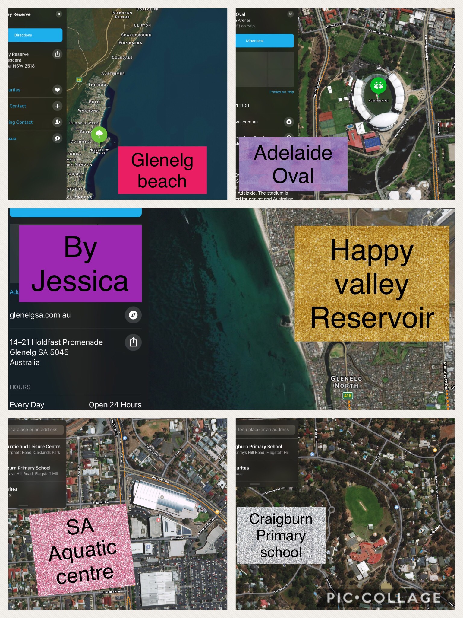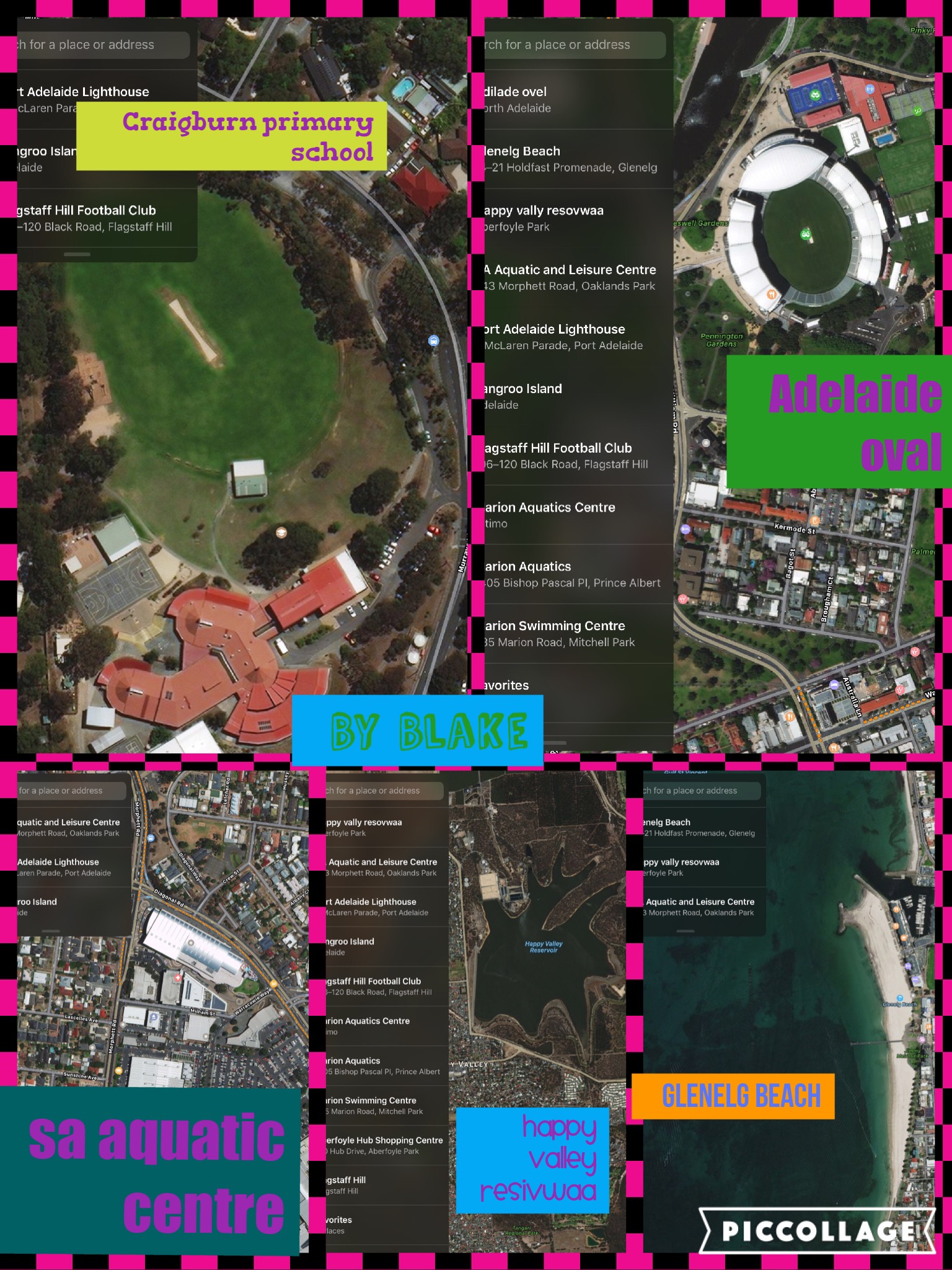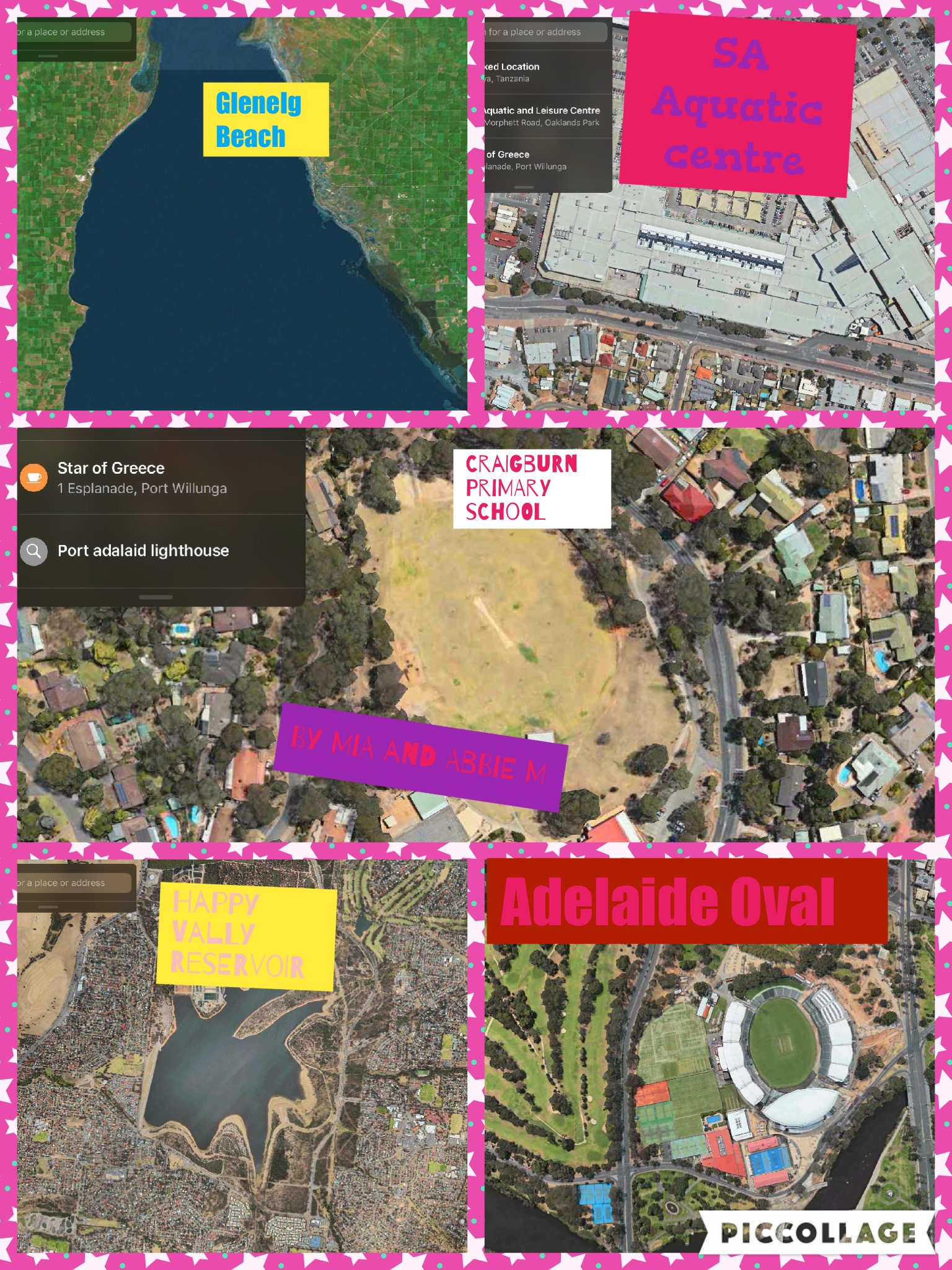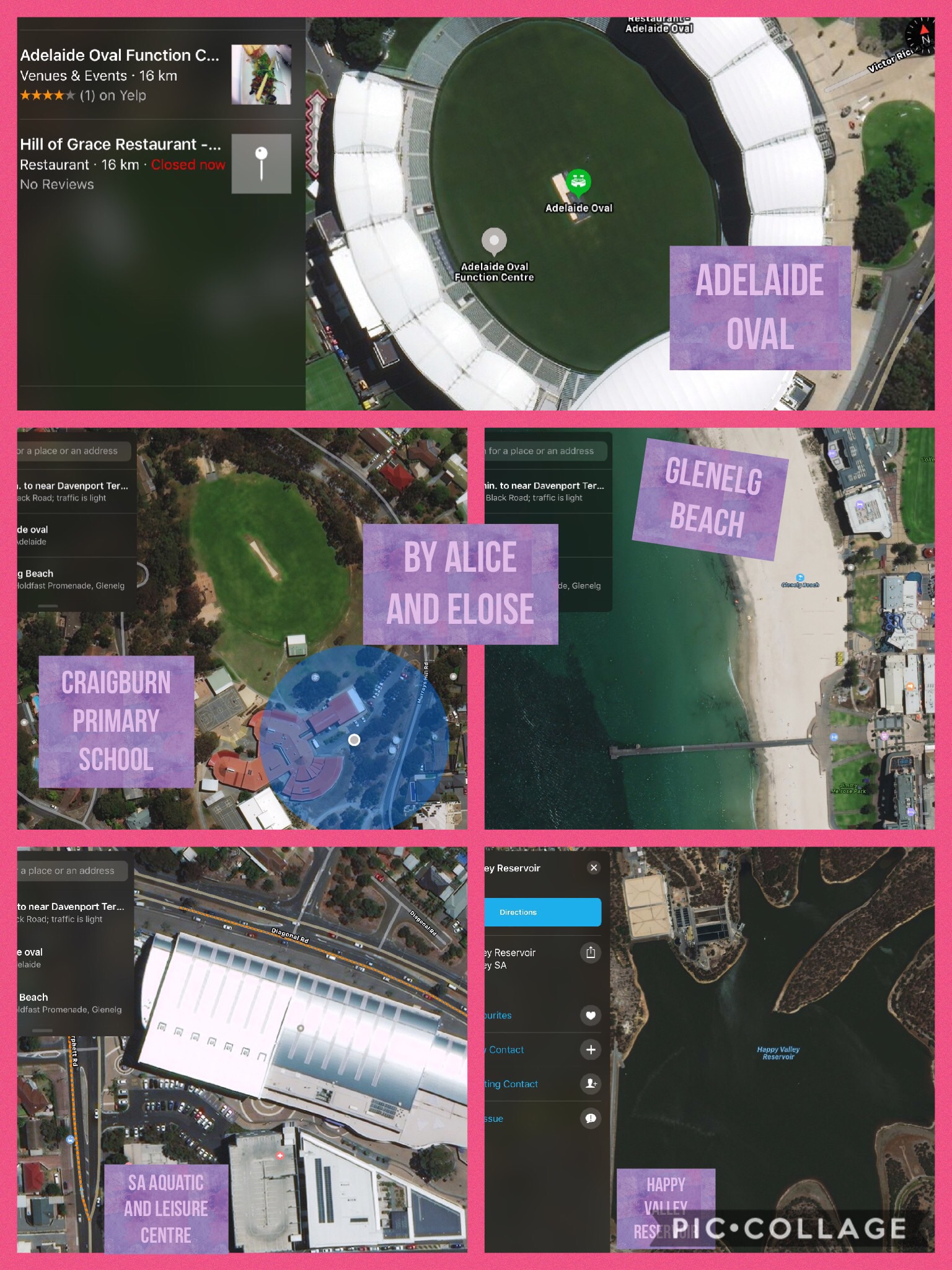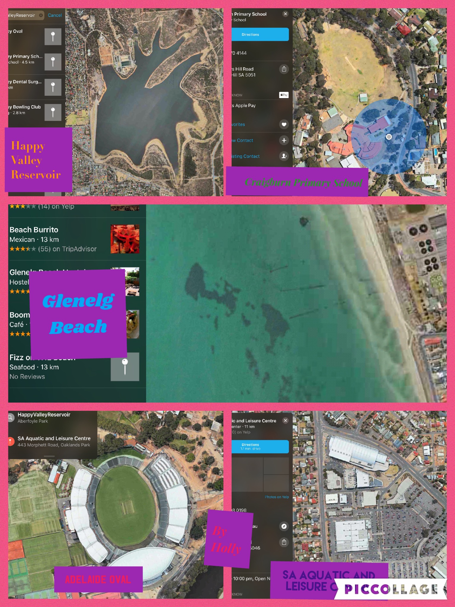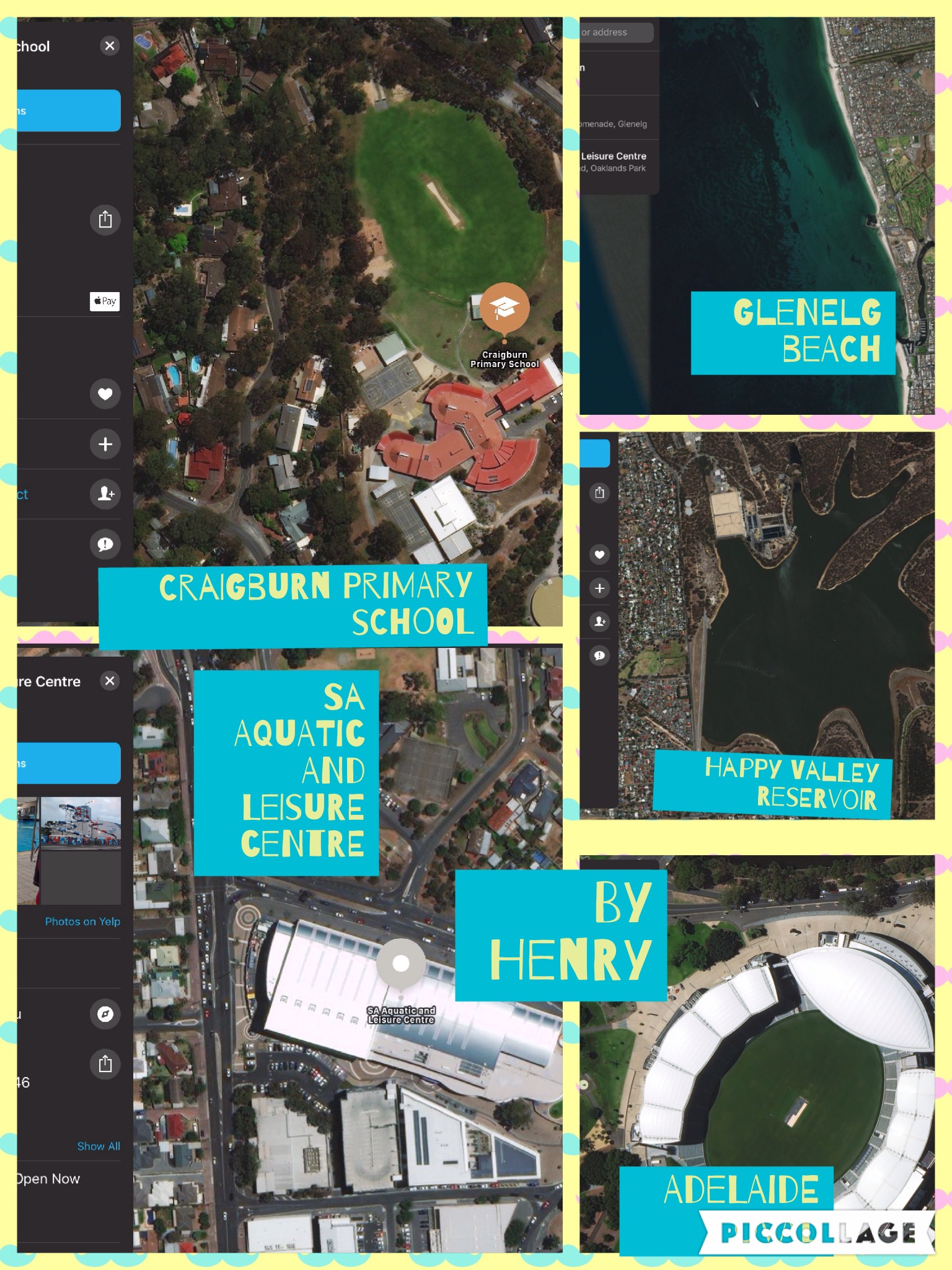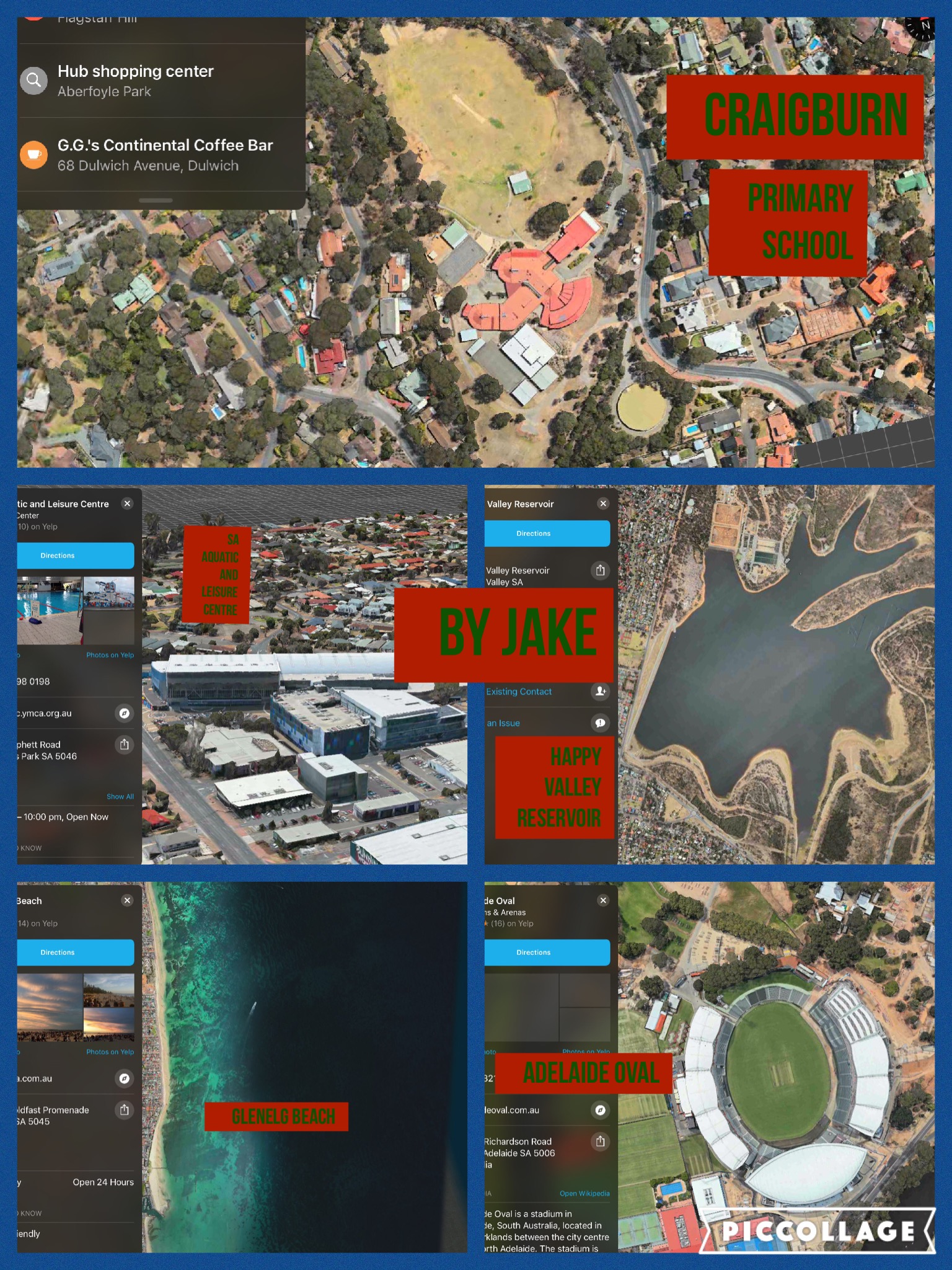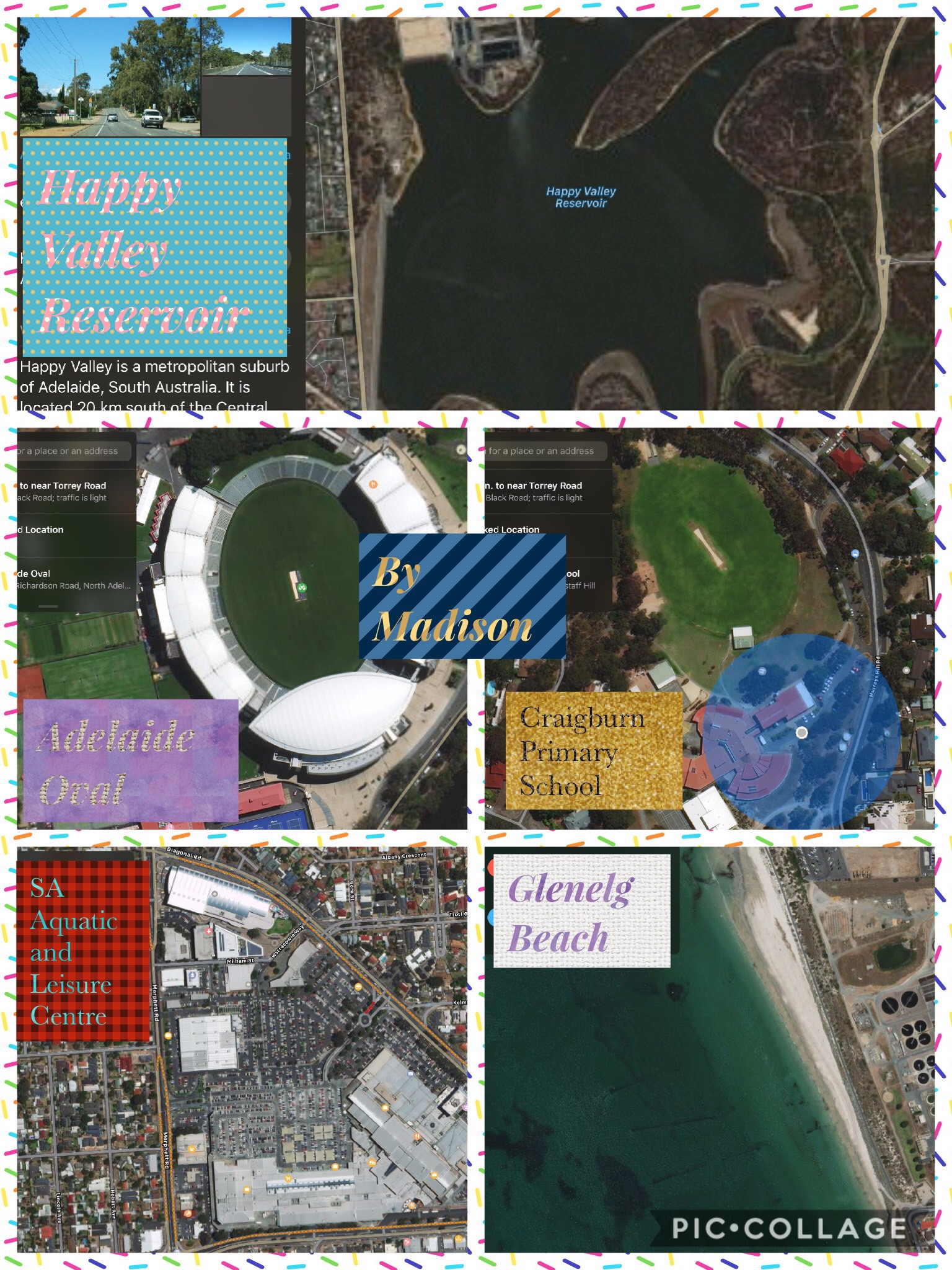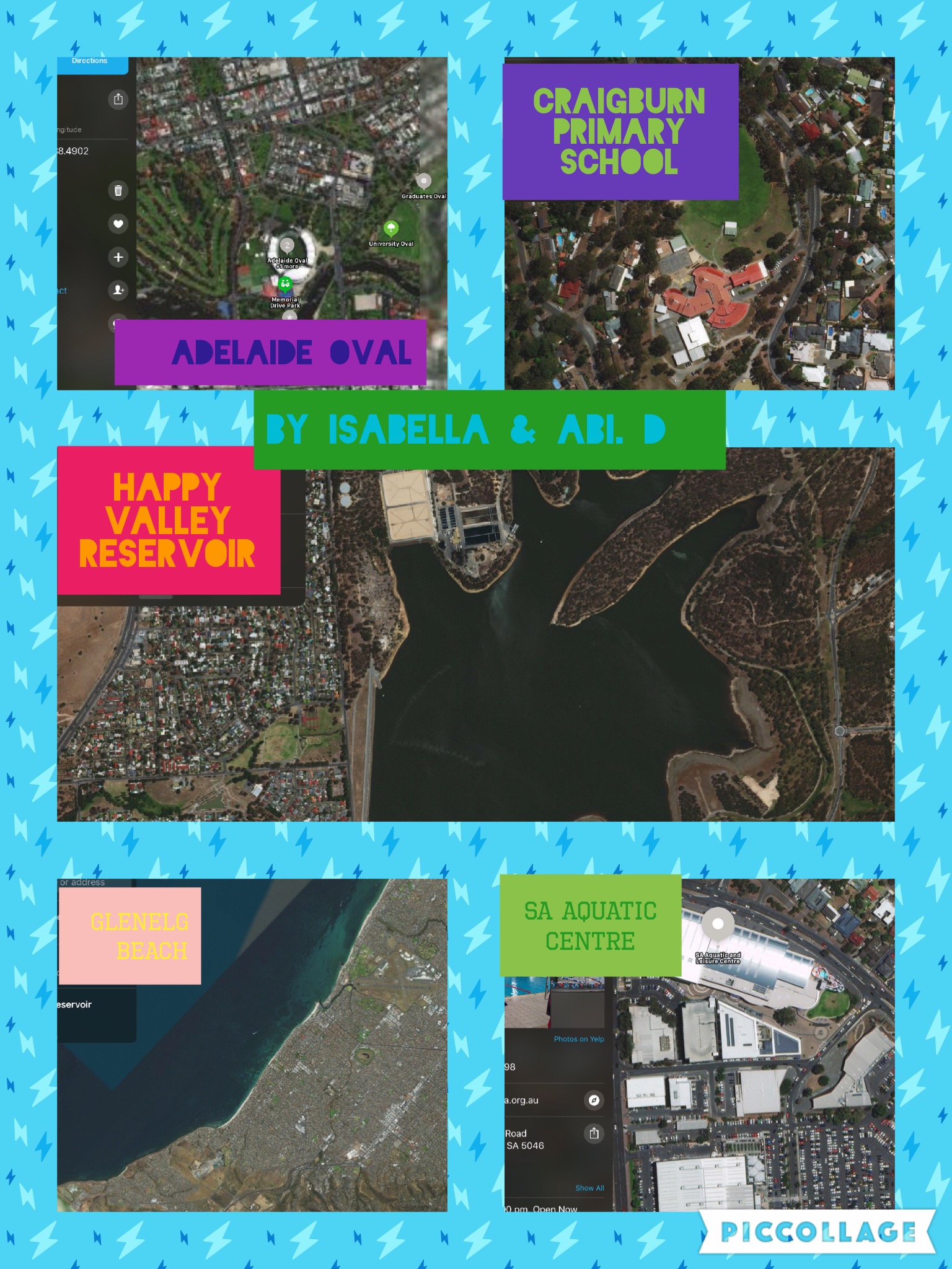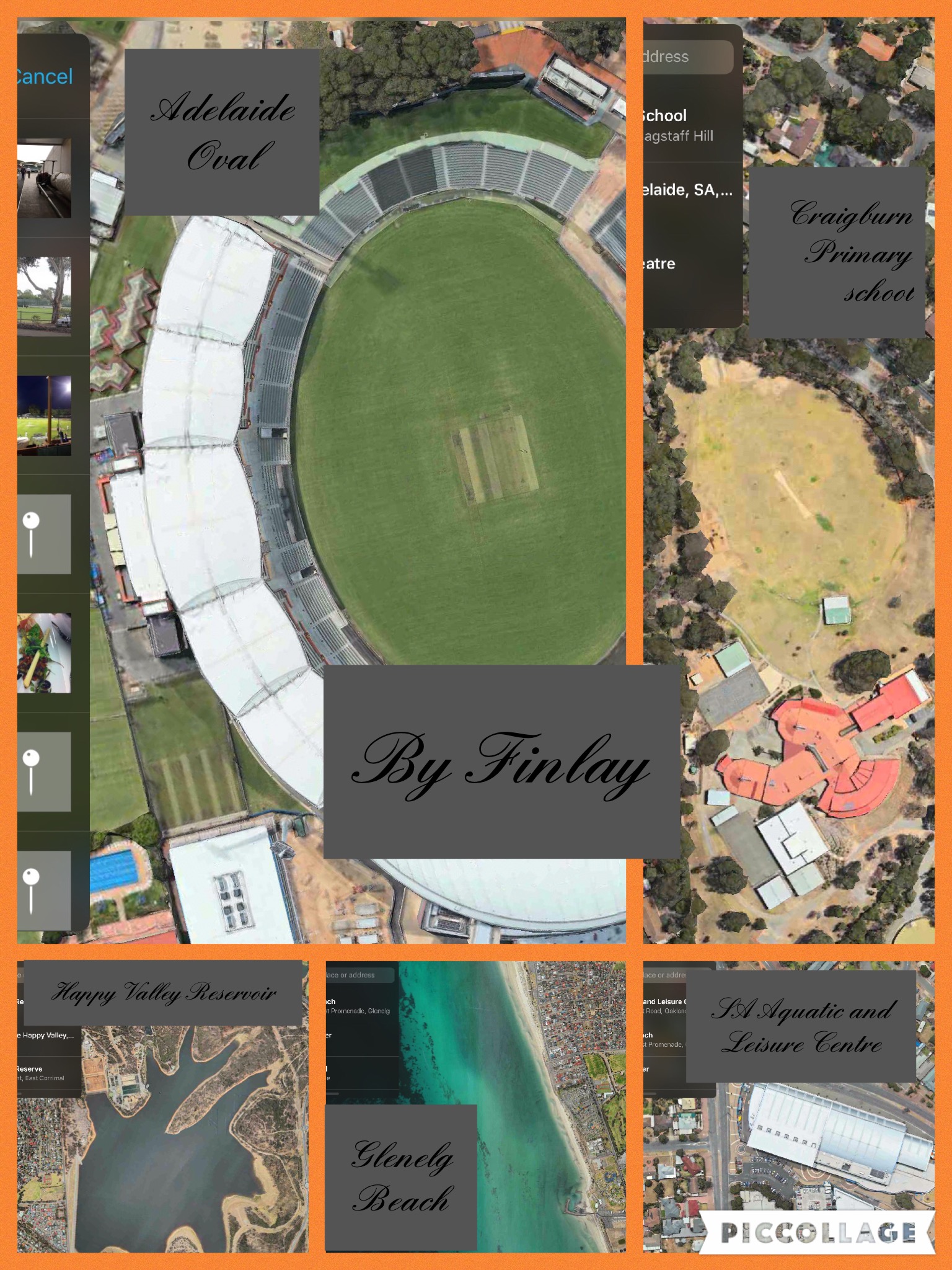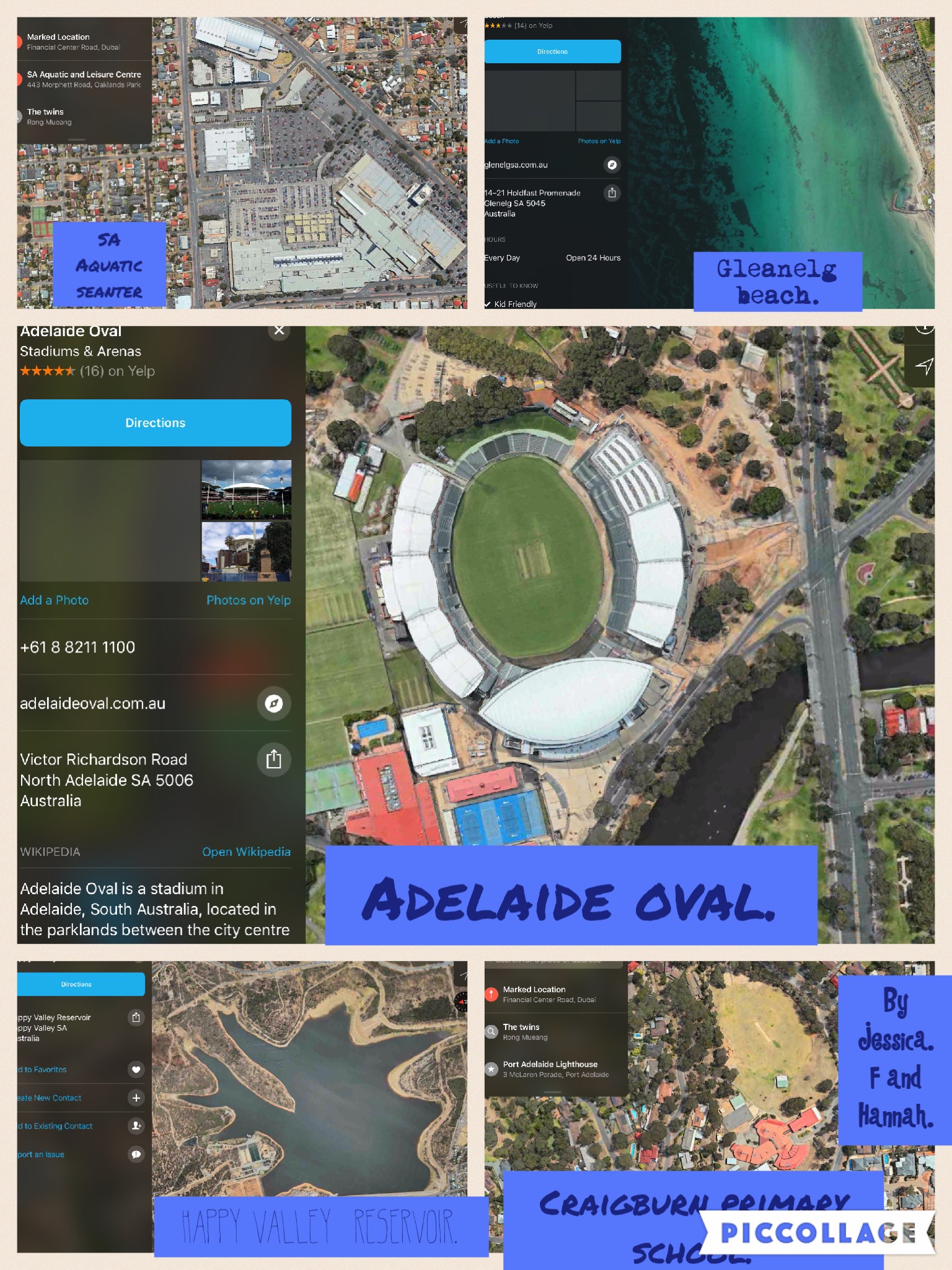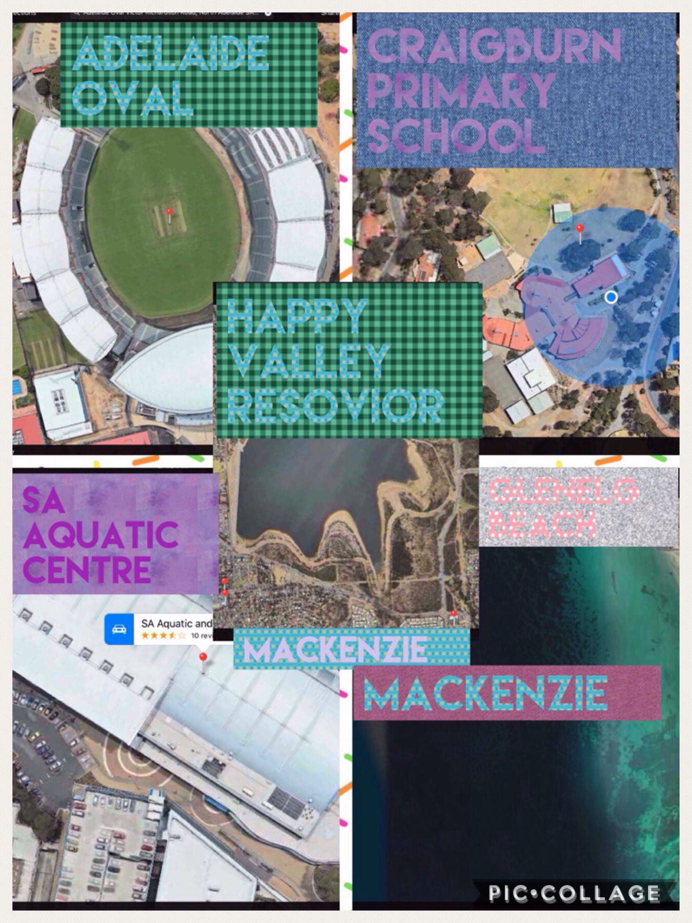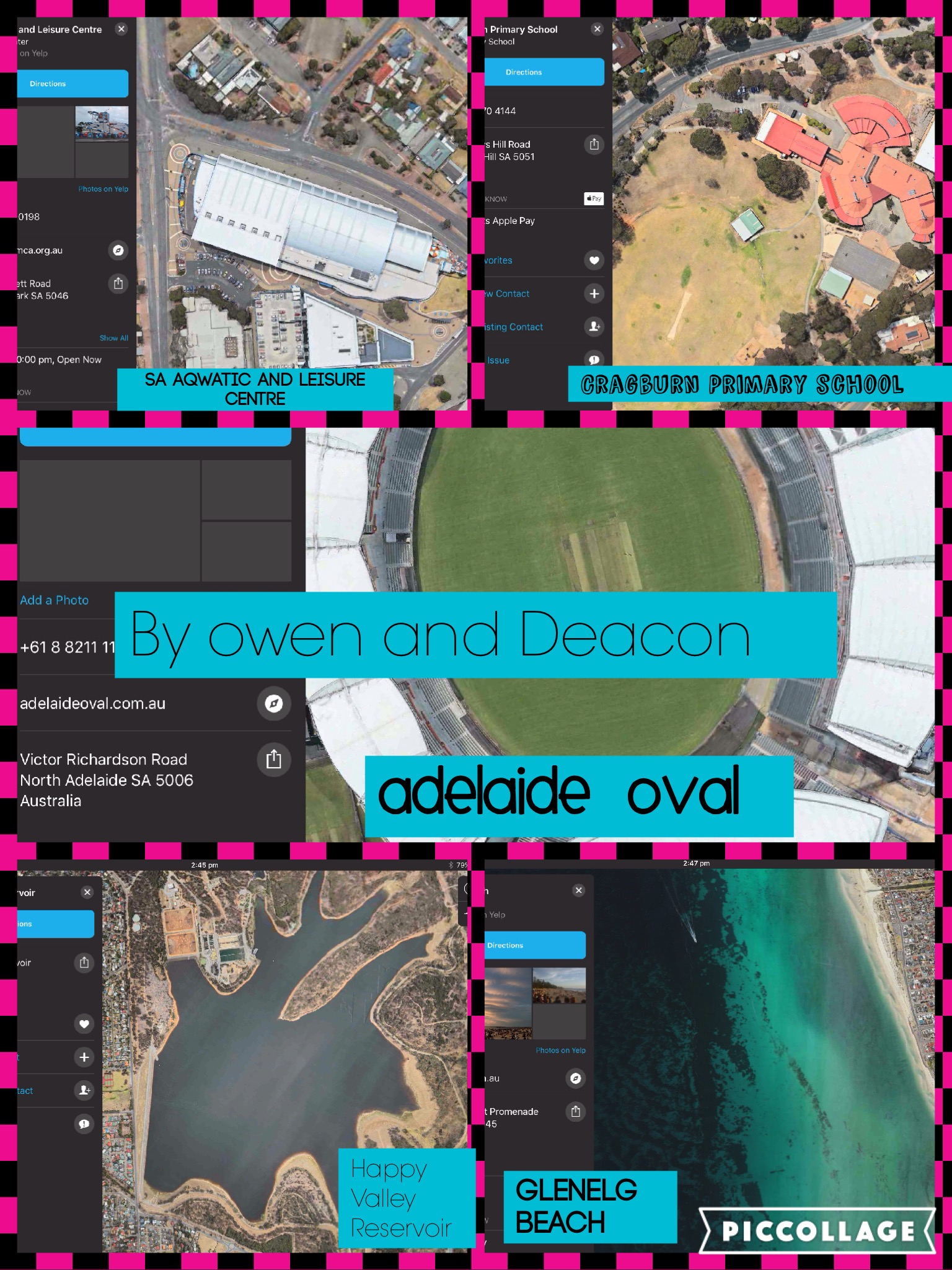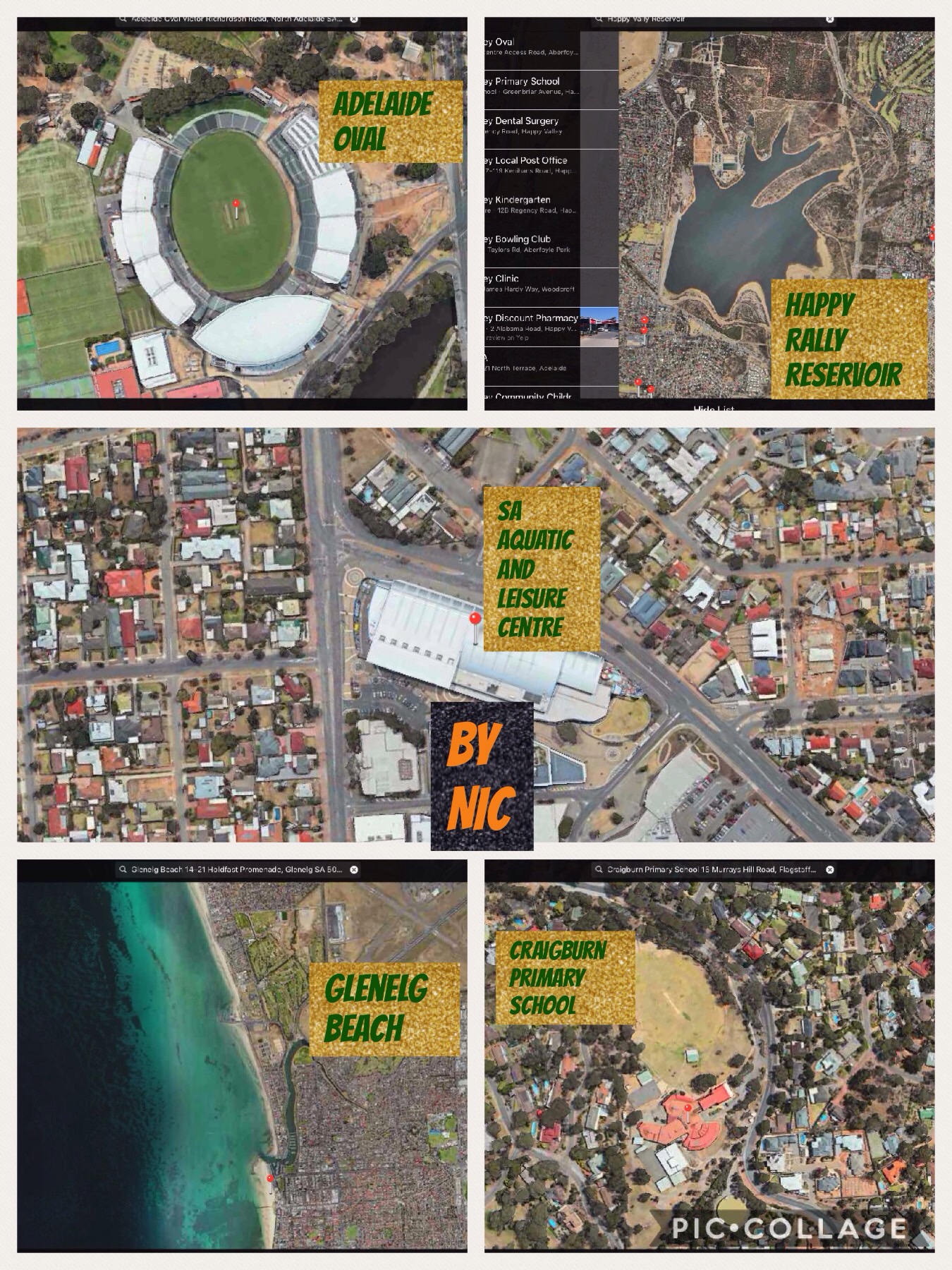
As part of our unit of inquiry on ‘Workers in the Community’ we looked at our local community and surrounding areas using Google Maps on the iPads. Students were asked to find certain places using the maps app and then to zoom in and take a screen shot. Then they used the PicCollage app to create a poster with labels of each place. Here they are: